In Stock
Rand McNally Folded Map: San Antonio Austin & the Hill Country Regional Map
Sheet map, folded
€11.99
Collect 35 Reward Points
- Free Delivery from
- This Book Is Available Online Only
- Book Synopsis
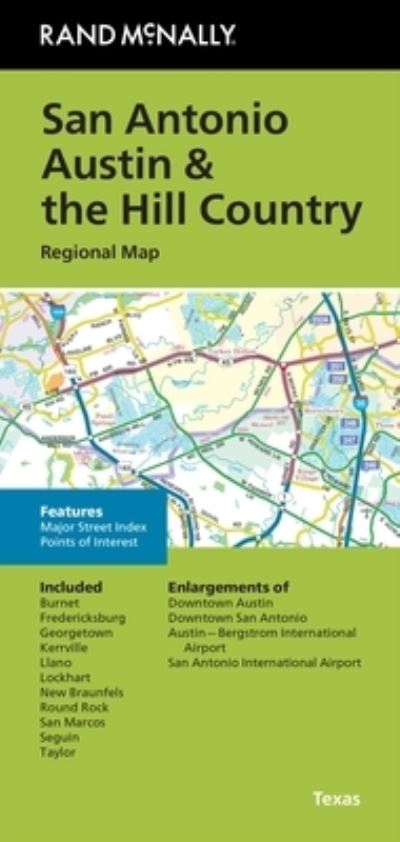
- Rand McNally's folded map for San Antonio Austin & the Hill Country is a must-have for anyone traveling in and around this part of Texas, offering unbeatable accuracy and reliability at a great price. Our trusted cartography shows all Interstate, U.S., state, and county highways, along with clearly indicated parks, points of interest, airports, county boundaries, and streets. The easy-to-use legend and detailed index make for quick and easy location of destinations. You'll see why Rand McNally folded maps have been the trusted standard for years. - Regularly updated. - Full-color maps. - Clearly labeled Interstate, U.S., state, and county highways. - Indications of parks, points of interest, airports, county boundaries, downtown & vicinity maps. - Major attractions & Golf Courses. - Enlargements of Austin downtown, San Antonio downtown, Austin-Bergstrom Intl Airport, San Antonio Intl Airport. - Easy-to-use legend. - Detailed index & Major Street Index. - Convenient folded size. Coverage Area Communities Included: Burnett, Fredericksburg, Georgetown, Kerrville, Llano, Lockhart, New Branunfels, Round Rock, San Marcos, Seguin, Taylor. Product Details: Measures 9.5" x 4" and folds out to 40" x 28".
- Product Details
-
- ISBN
- 9780528028861
- Format
- Sheet map, folded
- Publisher
- Rand McNally, (30 May 2024)
- Weight
- 45 grams
- Language
- English
- Dimensions
- 224 x 104 x 6 mm
- Categories: