In Stock
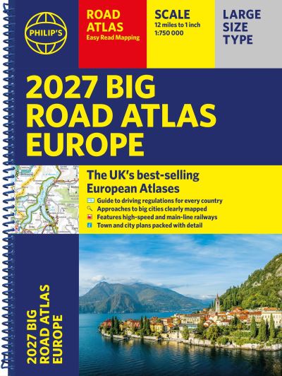
Philip's 2027 Big Road Atlas of Europe
Spiral bound
€19.19
Collect 57 Reward Points
- Free Delivery from
- This Book Is Available Online Only
- Book Synopsis
- PHILIP'S: THE BEST-SELLING EUROPEAN ATLAS RANGE IN THE UK with 'The clearest and most detailed maps of Europe' David Williams MBE, former CEO Gem Motoring Assist 'The best of its kind with quick, easy-to-use information' Fleet Week Super-clear, easy-to-read main scale mapping at 1:750,000 (12 miles to 1 inch) Extra pages with scales from 1:1.5M to 1:3M, showing more detail where you need it Clear mapping of every country in Europe with all the driving regulations for each one Easy-to-use large A3 format with large maps and large print place names 16-page route planning section, for easy route planning across long distances 50 town and city plans for easy navigation Over 30 urban area maps to help driving in denser areas Spectacular scenic routes clearly highlighted Times zones mapped across Europe Special mapping of rivers and canals for cruises and water-based travel Including mapping of Europe's High-Speed and Main Line Rail Network to help plan long distance journeys Using the most up-to-date mapping technology, this is the ultimate road companion for moving around Europe.
- About The Author
- Philip's has been at the forefront of creating maps and atlases since 1834. Whether a local street map or a fact-packed World Atlas, we use the most up-to-date technology, expertise and our global network to ensure our customers have all the information they need.
- Product Details
-
- ISBN
- 9781849077491
- Format
- Spiral bound
- Publisher
- Philip's, (09 April 2026)
- Number of Pages
- 176
- Weight
- 980 grams
- Language
- English
- Dimensions
- 390 x 292 x 14 mm
- Series:
- See all books in this series
- Categories: