In Stock
The West Highland Way (Footprint Map)
Sheet map, folded
€15.88
Collect 47 Reward Points
- Free Delivery from
- This Book Is Available Online Only
- Book Synopsis
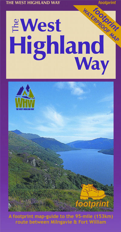
- The West Highland Way waterproof map from Footprint is a map-guide to the 95 mile (153km) route between Milngavie and Fort William. The mapping is based on Ordnance Survey data at a scale of 1:40,000, with compact and concise information for walkers.
- Product Details
-
- ISBN
- 9781871149937
- Format
- Sheet map, folded
- Publisher
- Footprint Maps, (10 April 2017)
- Weight
- 36 grams
- Language
- English
- Dimensions
- 230 x 140 x 3 mm
- Categories: