Currently Out Of Stock
Rand McNally Folded Map: Philadelphia & Southeast Pennsylvania Regional Map
Sheet map, folded
€9.89
Collect 29 Reward Points
- Currently Out Of Stock
- Book Synopsis
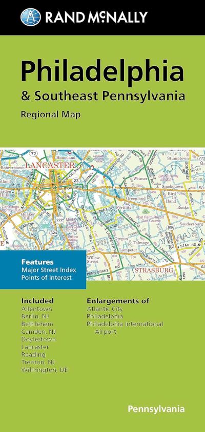
- Rand McNally's folded map for Philadelphia & Southeast Pennsylvania is a must-have for anyone traveling in and around this part of Ohio, offering unbeatable accuracy and reliability at a great price. Our trusted cartography shows all Interstate, U.S., state, and county highways, along with clearly indicated parks, points of interest, airports, county boundaries, and streets. The easy-to-use legend and detailed index make for quick and easy location of destinations. You'll see why Rand McNally folded maps have been the trusted standard for years. - Regularly updated. - Full-color maps. - Clearly labeled Interstate, U.S., state, and county highways. - Indications of parks, points of interest, airports, county boundaries, downtown & vicinity maps. - Major attractions & Golf Courses. - Enlargements of Atlantic City, Philadelphia, Philadelphia International Airport. - Easy-to-use legend. - Detailed index & Major Street Index. - Convenient folded size. Coverage Area: Allentown, Berlin NJ, Bethlehem, Camden NJ, Doylestown, Lancaster, Reading, Trenton NJ, Wilmington, DE.
- Product Details
-
- ISBN
- 9780528025594
- Format
- Sheet map, folded
- Publisher
- Rand McNally, (08 August 2023)
- Weight
- 54 grams
- Language
- English
- Dimensions
- 231 x 110 x 5 mm
- Categories: