In Stock
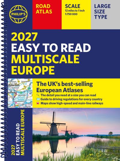
Philip's 2027 Easy to Read Multiscale Road Atlas of Europe
Spiral bound
€20.39
Collect 61 Reward Points
- Free Delivery from
- This Book Is Available Online Only
- Book Synopsis
- PHILIP'S: THE BEST-SELLING EUROPEAN ATLAS RANGE IN THE UK With the detail you need at a size you can read, the latest 2027 Philip's Easy to Read Multiscale Road Atlas of Europe is the ultimate driving companion. Including the rules and regulations across Europe for easy driving, and the high speed network if you need to take to the train. * Super-clear main scale at 1:750,000 (12 miles to 1 inch) * Multiscale mapping with scales from 1:1.5M to 1:3M, showing more detail where you need it * Clear mapping of every country in Europe and the driving rules and regulations * Distance Chart and a 23-page route planning section included, for easy route planning across long distances * Special mapping of canals and rivers for cruising and boating * Spectacular scenic routes clearly highlighted * Including Europe's High-Speed and Main Line Rail Network to help plan long distance journeys with ease 'The clearest and most detailed maps of Europe' David Williams MBE, former CEO Gem Motoring Assist 'The best of its kind with quick, easy-to-use information' Fleet Week
- About The Author
- Philip's has been at the forefront of creating maps and atlases since 1834. Whether a local street map or a fact-packed World Atlas, we use the most up-to-date technology, expertise and our global network to ensure our customers have all the information they need.
- Product Details
-
- ISBN
- 9781849077477
- Format
- Spiral bound
- Publisher
- Philip's, (21 April 2026)
- Number of Pages
- 272
- Weight
- 751 grams
- Language
- English
- Dimensions
- 296 x 228 x 10 mm
- Series:
- See all books in this series
- Categories: