In Stock
Isle of Anglesey
Paperback
€11.99
Collect 35 Reward Points
- Free Delivery from
- This Book Is Available Online Only
- Book Synopsis
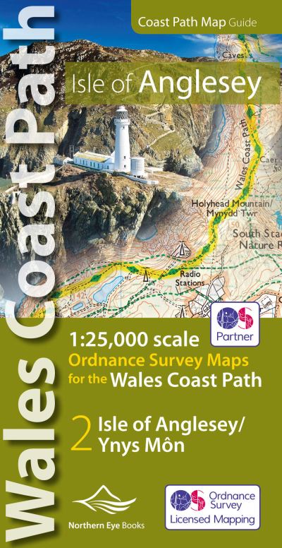
- Enhanced, large scale (1: 25,000) Ordnance Survey mapping in a handy atlas format with all the mapping you need to walk a complete circuit of the Anglesey section of the Wales Coast Path. Continuous OS mapping covering the complete circuit from Menai Bridge. Contains coastal extracts from large scale Explorer maps 262 and 263. - Large scale Ordnance Survey mapping for the complete circuit of the Isle of Anglesey in a handy atlas format. - Highlighted official route of the Wales Coast Path/ Anglesey Coastal Path. - On-map symbols showing amenities at main towns and villages. - Introduction with attractive photo mosaic. - Additional useful information
- Product Details
-
- ISBN
- 9781908632593
- Format
- Paperback
- Publisher
- Northern Eye Books, (04 November 2019)
- Number of Pages
- 48
- Weight
- 90 grams
- Language
- English
- Dimensions
- 215 x 107 x 4 mm
- Series:
- See all books in this series
- Categories: