In Stock
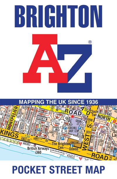
Brighton A-Z Pocket Street Map
A-Z Maps
|
Sheet map, folded
€4.39
Collect 13 Reward Points
- Standard Delivery on
- This Book Is Available Online Only
- Book Synopsis
- Navigate your way around Brighton with detailed street maps from A-ZThis up-to-date, folded A-Z street map includes 2,600 streets in and around Brighton. As well as the seafront and Brighton Palace Pier, the other areas covered are The Lanes, Preston Park, the Artists' Quarter, Hanover and Seven Dials.The large scale street map includes:**x2022; Places of interest**x2022; One-way streets and car parks**x2022; Index to streets, places of interest, place and area names, park and ride sites, national rail stations, hospitals and hospicesThe perfect reference map for finding your way around Brighton.
- About The Author
- Geographers' Map Company Ltd. (A-Z Maps) was established in London on 25 August 1936. The company's most famous publication, the iconic A-Z Atlas and Guide to London, was created by Phyllis Pearsall, the founder of A-Z, who explored every street in London to create the first edition. Since then, A-Z has become the trusted source for street maps and atlases, as well as developing Visitors' Guides, Road Atlases and the Adventure Map series for walkers.
- Product Details
-
- ISBN
- 9780008657376
- Format
- Sheet map, folded
- Publisher
- Geographers' A-Z Map Co Ltd, (25 April 2024)
- Number of Pages
- 2
- Weight
- 40 grams
- Language
- English
- Dimensions
- 140 x 90 x 6 mm
- Categories: