Currently Out Of Stock
Blue Ridge Parkway Recreation Map
Other cartographic
€11.94
Collect 35 Reward Points
- Currently Out Of Stock
- Book Synopsis
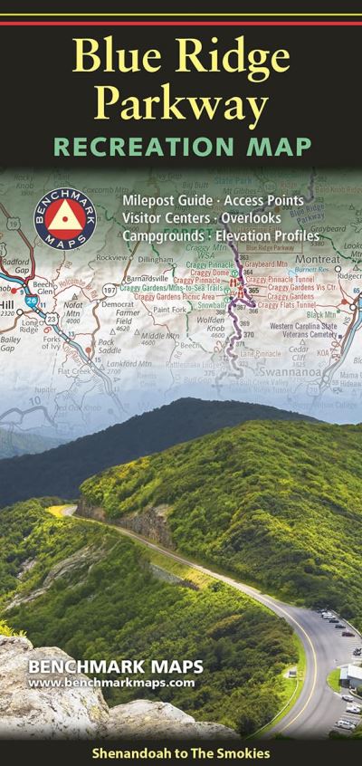
- Running 469 miles through the mountains of Virginia and North Carolina, the Blue Ridge Parkway connects Shenandoah National Park in the north to Great Smoky Mountains National Park in the south. The route is renowned for its many scenic overlooks, hiking trails, historical sites, and cultural landmarks, offering travelers a classic glimpse of the Appalachian Highlands. The map shows the northern & southern halves of the parkway on two sides, each with extensive public land and road detail. The Milepost Guides list 200 attractions by mile marker, with descriptions and map grid references. The Elevation Profiles show the many ups and downs along the parkway, a very helpful planning tool if pulling a trailer. This folded map was compiled from the Southern Appalachians Road & Recreation Atlas; a 144-page book that portrays the entrancing scenery and recreation potential of the entire region.<i><ul><li>Map Scale = 1:829,187</li><li>Sheet Size = 34" x 27"</li><li>Folded Size = 4" x 9"</li></ul></i>
- About The Author
- Since 1995, our field checkers, cartographers, and editors have been mapping the American West. Our flagship series of Road & Recreation Atlases features thoroughly researched Recreation Guides and our larger scale Landscape Maps(TM). Our precise and easy-to-use atlases are essential tools for planning and navigating your most memorable road trips and adventures.
- Product Details
-
- ISBN
- 9780783499734
- Format
- Other cartographic
- Publisher
- Benchmark Maps, (01 December 2024)
- Number of Pages
- 2
- Language
- English
- Dimensions
- 229 x 102 x 0 mm
- Series:
- See all books in this series
- Categories: