In Stock
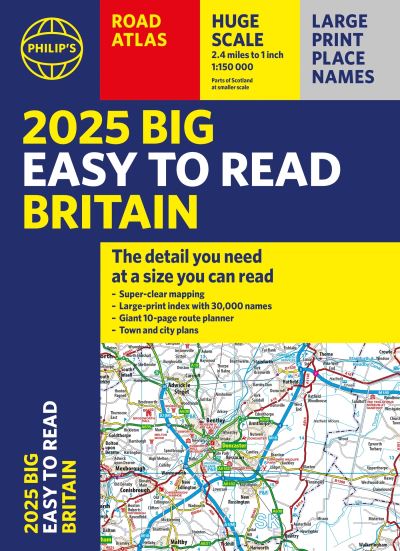
2025 Philip's big easy to read Britain road atlas
Paperback
€17.99
Collect 53 Reward Points
- Free Delivery from
- This Book Is Available Online Only
- Book Synopsis
- With the detail you need at a size you can read, the latest edition of 2025 Philip's Big Easy to Read Road Atlas of Britain is super-clear, super-sized and bang up-to-date in a large paperback format. · Huge 1:150,000 scale (approx 2.4 miles to 1 inch) · Large super-sized pages (A3) · Large print place names, and large scale maps · 88 detailed town plans for easy navigation · Clear road colours, which are easier to read in the dark · Thousands of attractions clearly mapped · Special route planner section for arranging the best trips · Large print approach maps for all major cities · Durable paperback format At last, a road atlas that everyone can read easily in or out of the car, no matter what the conditions. Restricted motorway information, a distance chart, and clearly labelled places of interest are just some of the features within this bestselling road atlas of Britain. Whether it's getting dark, or you just can't find your glasses, 2025 Philip's Big Easy to Read Road Atlas of Britain is the ultimate road companion.
- About The Author
- Philip's has been at the forefront of creating maps and atlases since 1834. Whether a local street map or a fact-packed World Atlas, we use the most up-to-date technology, expertise and our global network to ensure our customers have all the information they need.
- Product Details
-
- ISBN
- 9781849076616
- Format
- Paperback
- Publisher
- Philip's, (04 April 2024)
- Number of Pages
- 240
- Weight
- 1320 grams
- Language
- English
- Dimensions
- 392 x 286 x 14 mm
- Series:
- See all books in this series
- Categories: