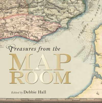
Treasures from the map room

by Debbie Hall | 09 September 2016
Hardback
Categories: Historical geography
This book explores the stories behind seventy-five extraordinary maps. It includes unique treasures such as the fourteenth-century Gough Map of Great Britain, exquisite portolan charts made in the fifteenth century, the Selden Map of China - the earliest example of Chinese merchant cartography - and an early world map from the medieval Islamic Book of Curiosities, together with more recent examples of fictional places drawn in the twentieth century, such as C.S. Lewis's own map of Narnia and J.R.R. Tolkien's map of Middle Earth. As well as the works of famous mapmakers Mercator, Ortelius, Blaeu, Saxton and Speed, the book also includes lesser known but historically significant works: early maps of the Moon, of the transit of Venus, hand-drawn estate plans and early European maps of the New World. There are also some surprising examples: escape maps printed on silk and carried by pilots in the Second World War in case of capture on enemy territory; the first geological survey of the British Isles showing what lies beneath our feet; a sixteenth-century woven tapestry map of Worcestershire; a map plotting outbreaks of cholera and a jigsaw map of India from the 1850s. Behind each of these lies a story, of intrepid surveyors, ambitious navigators, chance finds or military victories. Drawing on the unique collection in the Bodleian Library, these stunning maps range from single cities to the solar system, span the thirteenth to the twenty-first century and cover most of the world.
€50.75
152 Reward Points
In stock online
Extended Range: Delivery in 2-3 working days
Free Delivery on this item

Any purchases for more than €10 are eligible for free delivery anywhere in the UK or Ireland!

This book explores the stories behind seventy-five extraordinary maps. It includes unique treasures such as the fourteenth-century Gough Map of Great Britain, exquisite portolan charts made in the fifteenth century, the Selden Map of China - the earliest example of Chinese merchant cartography - and an early world map from the medieval Islamic Book of Curiosities, together with more recent examples of fictional places drawn in the twentieth century, such as C.S. Lewis's own map of Narnia and J.R.R. Tolkien's map of Middle Earth. As well as the works of famous mapmakers Mercator, Ortelius, Blaeu, Saxton and Speed, the book also includes lesser known but historically significant works: early maps of the Moon, of the transit of Venus, hand-drawn estate plans and early European maps of the New World. There are also some surprising examples: escape maps printed on silk and carried by pilots in the Second World War in case of capture on enemy territory; the first geological survey of the British Isles showing what lies beneath our feet; a sixteenth-century woven tapestry map of Worcestershire; a map plotting outbreaks of cholera and a jigsaw map of India from the 1850s. Behind each of these lies a story, of intrepid surveyors, ambitious navigators, chance finds or military victories. Drawing on the unique collection in the Bodleian Library, these stunning maps range from single cities to the solar system, span the thirteenth to the twenty-first century and cover most of the world.
Quantity:
In stock online
Extended Range: Delivery in 2-3 working days
Free Delivery on this item
152 Reward Points

Any purchases for more than €10 are eligible for free delivery anywhere in the UK or Ireland!

€50.75
In stock online
Extended Range: Delivery in 2-3 working days
Free Delivery on this item
Quantity:
152 Reward Points

Any purchases for more than €10 are eligible for free delivery anywhere in the UK or Ireland!

Categories: Historical geography

Product Description

Product Details