Fast & Free Shipping
Get FREE delivery in the Republic of Ireland when you spend over €10
In Stock
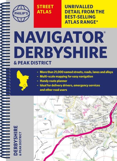
Philip's navigator street atlas Derbyshire and the Peak District
Spiral bound
€20.39
Collect 61 Reward Points
- Free Delivery from
- This Book Is Available Online Only
- Book Synopsis
- THE ONLY COUNTY STREET ATLAS WITH ALL THE NAMED STREETS OF DERBYSHIRE. The UK's best-selling county street atlases More than 24,000 named streets, roads, lanes and alleys The essential map book for residents and visitors - and if you're moving to Derbyshire Includes all the streets in BUXTON, CHESTERFIELD, DERBY, LONG EATON, MATLOCK, SWADLINCOTE, Alfreton, Ashbourne, Bakewell, Belper, Bolsover, Brimington, Chapel-en-le-Frith, Clay Cross, Clowne, Dronfield, Eckington, Glossop, Heanor, Ilkeston, New Mills, Pinxton, Ripley, Shirebrook, South Normanton, Staveley, Whaley Bridge, Wirksworth - New edition in practical spiral-bound format - Street maps show car parks, schools, hospitals and many other places of interest, even ones off the beaten path - 4-page practical route-planning section showing all A and B roads - Super-clear mapping - Easy-to-use index - Scales: 1¾ inches to 1 mile (1:36,000) and 3½ inches to 1 mile (1:18,000). Major towns: 7 inches to 1 mile (1:9,000). Other information on the maps includes postcode boundaries, car parks, railway and bus stations, post offices, schools, colleges, hospitals, police and fire stations, places of worship, leisure centres, footpaths and bridleways, camping and caravan sites, golf courses, and many other places of interest.
- About The Author
- Philip's has been at the forefront of creating maps and atlases since 1834. Whether a local street map or a fact-packed World Atlas, we use the most up-to-date technology, expertise and our global network to ensure our customers have all the information they need.
- Product Details
-
- ISBN
- 9781849076371
- Format
- Spiral bound
- Publisher
- Philip's, (05 October 2023)
- Number of Pages
- 328
- Weight
- 700 grams
- Language
- English
- Dimensions
- 268 x 196 x 16 mm
- Series:
- See all books in this series
- Categories: