Fast & Free Shipping
Get FREE delivery in the Republic of Ireland when you spend over €10
In Stock
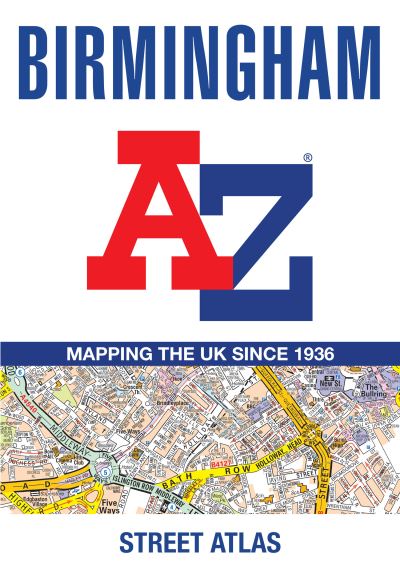
Birmingham A-Z Street Atlas
A-Z Maps
|
Paperback
€9.89
Collect 29 Reward Points
- Standard Delivery from
- This Book Is Available Online Only
- Book Synopsis
- Navigate your way around Birmingham with this detailed and easy-to-use A-Z Street Atlas.Printed in full-colour, paperback format, this atlas contains 96 pages of continuous street mapping in a NEW A5 format for ease of use.Coverage extends to include: Wednesbury, Coleshill, Knowle, Alvechurch, Rubery, Smethick, and West Bromwich.There are large scale city centre maps of Birmingham and Wolverhampton and a West Midlands rail and Midland Metro transport connections map.Postcode districts and one-way streets are featured on the mapping.The index section lists streets; selected flats, walkways and places of interest; place and area names; National Rail and Midland Metro stations; hospitals, NHS Walk-in Centres and hospices.
- About The Author
- Geographers' Map Company Ltd. (A-Z Maps) was established in London on 25 August 1936. The company's most famous publication, the iconic A-Z Atlas and Guide to London, was created by Phyllis Pearsall, the founder of A-Z, who explored every street in London to create the first edition. Since then, A-Z has become the trusted source for street maps and atlases, as well as developing Visitors' Guides, Road Atlases and the Adventure Map series for walkers.
- Product Details
-
- ISBN
- 9780008780739
- Format
- Paperback
- Publisher
- Geographers' A-Z Map Co Ltd, (23 April 2026)
- Number of Pages
- 144
- Weight
- 200 grams
- Language
- English
- Dimensions
- 215 x 149 x 9 mm
- Categories: