Fast & Free Shipping
Get FREE delivery in the Republic of Ireland when you spend over €10
Currently Out Of Stock
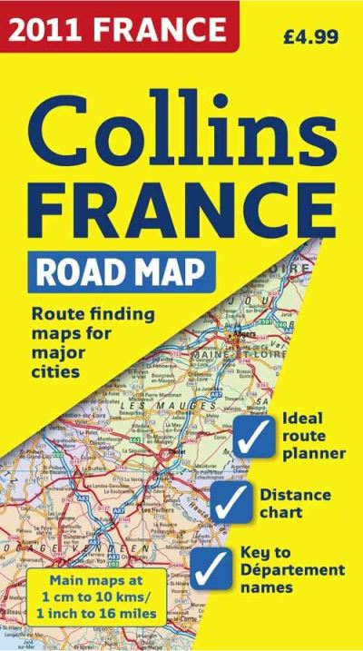
2011 Collins Map of France
Sheet map, folded
€5.49
Collect 16 Reward Points
- Currently Out Of Stock
- Book Synopsis
- New edition of annually revised, politically coloured map of France. The ideal map for planning and route-finding.Scale 1 : 1 000000 (1cm to 10 kms / 1 inch to 16miles).AREA OF COVERAGEFrom the Belgian and German borders in the north to the Spanish border in the south, and from the Brest Peninsula in the west to the Italian and Swiss borders in the east. Also includes the island of Corsica.MAP DETAILPolitically coloured mapping showing individual Départements by name. Motorways, roads, airports, cities and towns. Motorways and Euroroutes numbered.INCLUDES**x2022; Through-route map of Paris, Lyon, Marseille, Strasbourg, and Toulouse**x2022; Distance chart giving distances in kilometres between main towns**x2022; Key to Département names and numbers, and list of Regions**x2022; Internet links to further information**x2022; Map legend in English, French and German**x2022; Index to place namesWHO THE PRODUCT IS OF INTEREST TOHome and business reference users.
- Product Details
-
- ISBN
- 9780007364114
- Format
- Sheet map, folded
- Publisher
- Collins, (18 August 2010)
- Weight
- 130 grams
- Language
- English
- Dimensions
- 250 x 140 x 8 mm
- Categories: