Fast & Free Shipping
Get FREE delivery in the Republic of Ireland when you spend €10 or more
In Stock
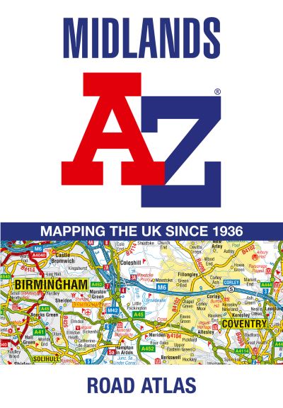
Midlands A-Z road atlas
Paperback
€8.79
Collect 26 Reward Points
- Standard Delivery from
- This Book Is Available Online Only
- Book Synopsis
- A full-colour, regional road atlas of the Midlands from A-Z Maps, featuring 46 pages of continuous road mapping.Road map detail is shown at a clear 2.5 miles to 1 inch scale (1.58 km to 1 cm) and includes the following features:Motorways open with full junction detail, motorways under construction and proposed, service areas, primary routes and destinations, A & B roads, selected minor roads, gradients 1:5 and steeper, tolls, mileages, county boundaries, spot heights and hill shadingSelected safety camera locations with their maximum speed limitsSelected fuel stationsNational Park boundariesSelected places of interest, tourist information centres and golf coursesThe index section lists cities, towns, villages, hamlets and locations covered by the road mapping.
- About The Author
- Geographers' Map Company Ltd. (A-Z Maps) was established in London on 25 August 1936. The company's most famous publication, the iconic A-Z Atlas and Guide to London, was created by Phyllis Pearsall, the founder of A-Z, who explored every street in London to create the first edition. Since then, A-Z has become the trusted source for street maps and atlases, as well as developing Visitors' Guides, Road Atlases and the Adventure Map series for walkers.
- Product Details
-
- ISBN
- 9780008652838
- Format
- Paperback
- Publisher
- Geographers' A-Z Map Co Ltd, (03 July 2024)
- Number of Pages
- 96
- Weight
- 190 grams
- Language
- English
- Dimensions
- 245 x 170 x 6 mm
- Categories: