BLACK FRIDAY: SUBSCRIBE AND SAVE MORE
Get an extra 5% off your full basket when you spend €50, or 10% off when you spend €100, in addition to our Black Friday offers.
Subscribe Now
Online Price
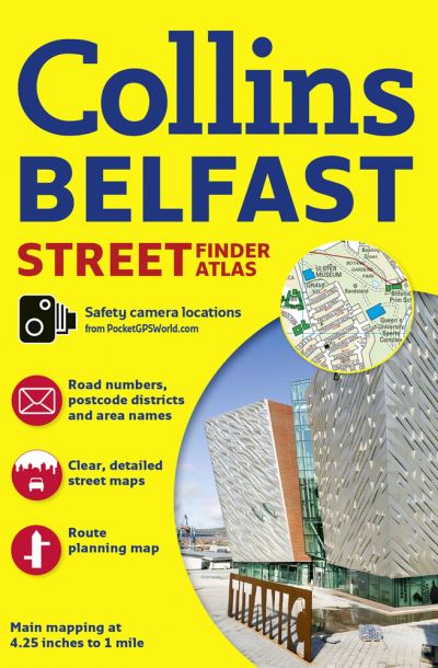
Collins Belfast
Paperback
€5.04
Collect 15 Reward Points
- Currently Out Of Stock
- Book Synopsis
- Discover Belfast with this handy, easy-to-use atlas in full colour, with fully updated clear street level mapping. An extensive area of Greater Belfast is covered, with clear, concise mapping at a scale of 4.25 inches to 1 mile, and a full index to street names.The area covered by the mapping extends from Ladybrook in the west, to Holywood in the east and from Belfast Castle in the north to Newtownbreda in the south.The atlas features: Route planning road map of the area around Belfast Colour classified roads and streets, area names and postcode districts Location of important buildings and places of interest, car parks and railway stations Information about Belfast, such as places of interest, shopping areas, parks and gardens and getting around Location of safety camerasWith its large area of coverage of Belfast and high level of detail this atlas is ideal for businesses, residents and visitors.
- About The Author
- Explore the world through accurate and up-to-date mapping.
- Product Details
-
- ISBN
- 9780008211554
- Format
- Paperback
- Publisher
- Collins, (09 March 2017)
- Number of Pages
- 48
- Weight
- 80 grams
- Language
- English
- Dimensions
- 210 x 142 x 3 mm
- Categories: