Fast & Free Shipping
Get FREE delivery in the Republic of Ireland when you spend €10 or more
In Stock
Cardiff
Paperback
€13.19
Collect 39 Reward Points
- Free Delivery from
- This Book Is Available Online Only
- Book Synopsis
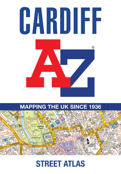
- Navigate your way around Cardiff with this detailed and easy-to-use A-Z Street Atlas.Printed in full-colour, paperback format, this atlas contains 107 pages of continuous street mapping.The main mapping covers Cardiff and Newport at a scale of 4 inches to 1 mile, featuring postcode districts, one-way streets, park and ride sites, and safety camera locations.Areas covered include:PontypriddCaerphillyCwmbranPontypoolCaerleonPenarthBarryRhooseLlantwit MajorSeparate coverage of Chepstow, Caldicot, Magor and Cowbridge is provided.The large-scale street map of Cardiff city centre - at a scale of 8 inches to 1 mile - includes:Postcode map of the Cardiff areaRoad map of the Cardiff areaWaterbus stopsA comprehensive index lists streets, selected flats, walkways and places of interest, place, area and station names. Additional healthcare (hospitals, walk-in centres and hospices) are indexed as well.
- About The Author
- Geographers' Map Company Ltd. (A-Z Maps) was established in London on 25 August 1936. The company's most famous publication, the iconic A-Z Atlas and Guide to London, was created by Phyllis Pearsall, the founder of A-Z, who explored every street in London to create the first edition. Since then, A-Z has become the trusted source for street maps and atlases, as well as developing Visitors' Guides, Road Atlases and the Adventure Map series for walkers.
- Product Details
-
- ISBN
- 9780008730840
- Format
- Paperback
- Publisher
- Geographers' A-Z Map Co Ltd, (27 March 2025)
- Number of Pages
- 192
- Weight
- 260 grams
- Language
- English
- Dimensions
- 215 x 149 x 16 mm
- Series:
- See all books in this series
- Categories: