-
BROWSE 1000s OF BOOKS IN STOCK
-
FREE DELIVERY ON ORDERS OVER €10
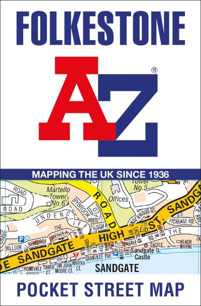
Folkestone A-Z Pocket Street Map
SHEET MAP, FOLDED
This up-to-date detailed A-Z street map includes more than 1,000 streets in and around Folkestone. This street map includes the following:Postcode districts, one-way streets and car parksPlaces of interestOn the reverse side there is a handy index to streets, places of interest, place and area names, park and ride sites, national rail stations, hospitals and hospicesDetailed coverage of an area extending from Hawkinge to Sandgate in the south, and from East Wear Bay in the east to Newington in the west.With clear mapping on a scale of 5.5 inches to 1 mile, this is the perfect reference map for finding your way around Folkestone.
€5.79

17 Reward Points
In stock online
Extended Range: Delivery in 2-3 working days
Any purchases for more than €10 are eligible for free delivery anywhere in the UK or Ireland!
This up-to-date detailed A-Z street map includes more than 1,000 streets in and around Folkestone. This street map includes the following:Postcode districts, one-way streets and car parksPlaces of interestOn the reverse side there is a handy index to streets, places of interest, place and area names, park and ride sites, national rail stations, hospitals and hospicesDetailed coverage of an area extending from Hawkinge to Sandgate in the south, and from East Wear Bay in the east to Newington in the west.With clear mapping on a scale of 5.5 inches to 1 mile, this is the perfect reference map for finding your way around Folkestone.
17 Reward Points
Any purchases for more than €10 are eligible for free delivery anywhere in the UK or Ireland!
€5.79
17 Reward Points
Any purchases for more than €10 are eligible for free delivery anywhere in the UK or Ireland!
Product Description
This up-to-date detailed A-Z street map includes more than 1,000 streets in and around Folkestone. This street map includes the following:Postcode districts, one-way streets and car parksPlaces of interestOn the reverse side there is a handy index to streets, places of interest, place and area names, park and ride sites, national rail stations, hospitals and hospicesDetailed coverage of an area extending from Hawkinge to Sandgate in the south, and from East Wear Bay in the east to Newington in the west.With clear mapping on a scale of 5.5 inches to 1 mile, this is the perfect reference map for finding your way around Folkestone.
Product Details
ISBN9780008560539
FormatSHEET MAP, FOLDED
PublisherGEOGRAPHERS' A-Z MAP CO LTD (16 March. 2023)
No. of Pages2
Weight40
Language English
Dimensions 140 x 90 x 3