-
BROWSE 1000s OF BOOKS IN STOCK
-
FREE DELIVERY ON ORDERS OVER €10
-
PRE-ORDER OBSESSED BY JOHNNY SEXTON
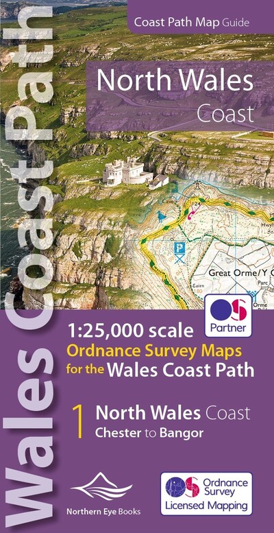
North Wales Coast Path
PAPERBACK
Series: See all books in this series
Categories:
Walking, hiking, trekking
One of seven handy, lightweight, pocket sized map books covering the whole of the 870 mile/1400 kilometre Wales Coast Path. This volume covers North Wales from Chester to Bangor and includes enhanced large scale (1:25,000) Ordnance Survey mapping in a handy atlas format, with extracts from large scale Explorer maps 266, 265, 264 and OL17. The official route of the Wales Coast Path is highlighted and on-map symbols show amenities at main towns and villages. There is an introduction and additional useful information.
€14.49

43 Reward Points
In stock online
Extended Range: Delivery in 2-3 working days
Extended Range: Delivery in 2-3 working days
Free Delivery on this item
Any purchases for more than €10 are eligible for free delivery anywhere in the UK or Ireland!
One of seven handy, lightweight, pocket sized map books covering the whole of the 870 mile/1400 kilometre Wales Coast Path. This volume covers North Wales from Chester to Bangor and includes enhanced large scale (1:25,000) Ordnance Survey mapping in a handy atlas format, with extracts from large scale Explorer maps 266, 265, 264 and OL17. The official route of the Wales Coast Path is highlighted and on-map symbols show amenities at main towns and villages. There is an introduction and additional useful information.
43 Reward Points
Any purchases for more than €10 are eligible for free delivery anywhere in the UK or Ireland!
€14.49
43 Reward Points
Any purchases for more than €10 are eligible for free delivery anywhere in the UK or Ireland!
Series: See all books in this series
Categories:
Walking, hiking, trekking
Product Description
One of seven handy, lightweight, pocket sized map books covering the whole of the 870 mile/1400 kilometre Wales Coast Path. This volume covers North Wales from Chester to Bangor and includes enhanced large scale (1:25,000) Ordnance Survey mapping in a handy atlas format, with extracts from large scale Explorer maps 266, 265, 264 and OL17. The official route of the Wales Coast Path is highlighted and on-map symbols show amenities at main towns and villages. There is an introduction and additional useful information.
Product Details
ISBN9781908632586
FormatPAPERBACK
PublisherNORTHERN EYE BOOKS (14 July. 2020)
No. of Pages48
Weight21
Language English
Dimensions 215 x 107 x 4